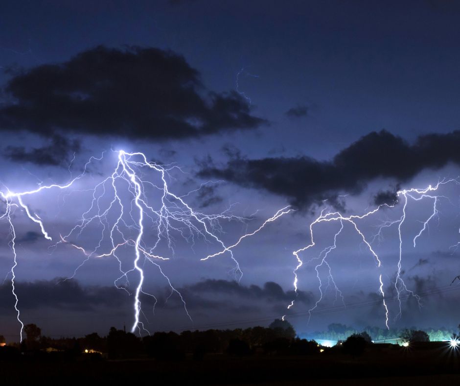
Several weather and strong storms are expected tonight in the Shreveport area and throughout the ArkLaTex!

The storms are expected to travel from Dallas into the Shreveport-Bossier areas this afternoon and become severe tonight.
According to our weather partners at KTAL-NBC 6:
At this point, it appears that everything needed for that severe weather outbreak will be present even into the evening hours before ending around midnight as the entire system moves to the east. The event will start later today with isolated thunderstorms ahead of an upper-level trough of low pressure and a cold front. This could lead to isolated strong storms that increase without having to share the ingredients with nearby storms.
This will yield isolated storms that will develop rapidly with all modes of severe weather including high winds, torrential rainfall, and a potential for strong tornadoes. The cold front will add even more to the mix a bit later as we find a line of very strong storms developing. A few storms within the line may start to rotate at different levels which could spawn possible strong winds and even a few tornadoes. It is needless to say that strong and damaging wind gusts will be possible within this line of storms. It does appear the line of strong storms will move east of the ArkLaTex during the late evening hours but could still pose a severe threat east of our area.
Be alert and aware tonight as storms move through the region.


